

Lovastérkép app for iPhone and iPad
Developer: Whitehalls Ltd.
First release : 06 Jun 2015
App size: 28.98 Mb
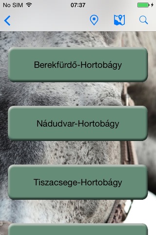
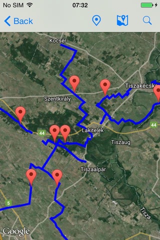
The app for Hungarys first community driven equestrian map, which allows users to view the map intuitively on their iPhones. Plan your trip ahead or let the app help you navigate while outside in the open, on horseback.
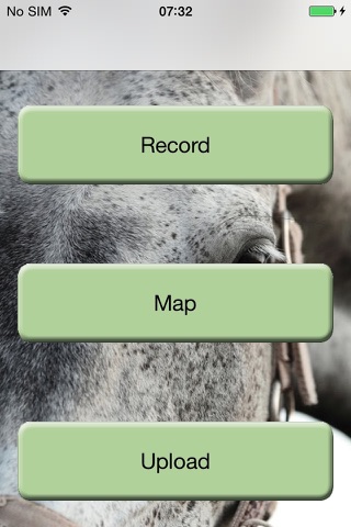
Know a place that is not mapped? Our application allows the recording and displaying of custom tracks. Before you start your trip just press record and your trip will be stored on your device. Once recording is stopped, the application displays the tracks relevant information, such as distance, average and maximum speed, trip time, etc. Optionally these tracks can be uploaded to our website, this way we can fill in the gaps and extend our map via the community.
Our application uses GPS for navigation and track recording. Continued use of GPS running in the background can dramatically decrease battery life.